From Lab to Orbit
24 Nov 2025
Stefanie Steinhauser presented her Master's Thesis at the Geographische Gesellschaft Munich.
24 Nov 2025
Stefanie Steinhauser presented her Master's Thesis at the Geographische Gesellschaft Munich.

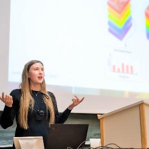
At the second event of the Geographische Gesellschaft München this winter term, former students of our department were invited to present their Master’s theses. Our team member Stefanie Steinhauser took the opportunity and shared her and Prof. Tobias Hank’s work on the German hyperspectral satellite mission EnMAP.
What Is Hyperspectral Remote Sensing?
Remote sensing means collecting physical information about objects without direct contact, acquired across multiple spatial scales: from satellites, airplanes, drones, down to field and laboratory levels.
Every material reflects and absorbs light in its own unique way. If we measure this reflected light, we can learn a lot about what we are looking at. For example:
Most satellites measure only a few broad “color bands.” Hyperspectral satellites, however, measure hundreds of very narrow bands. This allows them to capture even tiny differences in the spectral signature of plants, soil, water, and more.
One of these hyperspectral satellites is EnMAP (Environmental Mapping and Analysis Program), a German Earth observation mission that provides highly detailed data. Stefanie used EnMAP data in her research.
Stefanie’s Research: Understanding Non-Photosynthetic Vegetation (NPV)
Stefanie focused on something that is often overlooked from space: non-photosynthetic vegetation (NPV). NPV includes all the “brown” plant material on agricultural fields, such as:
Although it looks unimportant, NPV plays a big role in agriculture. It influences soil health and organic matter, erosion risk, water infiltration, and nutrient cycles.
Knowing how much NPV is on a field helps farmers understand how their soil is doing. But here’s the challenge: satellites often struggle to detect NPV accurately, because its spectral signals are subtle and can easily mix with soil.
Why Do We Still Need “Ground Data”?
To improve satellite analysis, Stefanie needed to know exactly how the NPV spectrum changes as more and more plant material is added to the soil.
However, a satellite like EnMAP only usually passes the same spot every 27 days, which makes it really difficult to measure gradual, small changes. That’s why researchers still rely on in-situ measurements. Because weather conditions like cloud cover made outdoor fieldwork difficult, Stefanie created a controlled setup in the laboratory. She:
This gave her a precise reference of what different levels of NPV “look like” in spectral data.
Bringing It All Together
Stefanie’s goal was to find out whether the fine-scale spectral signatures she measured in the lab could also be detected in large-scale satellite data. To do this, she:
Here‘s the result: The satellite data did show the expected spectral signals of NPV. This means her model can help improve how we map and understand NPV over large agricultural areas using only satellite images.
Why This Matters
Stefanie’s research has very practical applications. With better detection of vegetation conditions remote sensing can help:
Modern tractors already apply these kinds of data to give real-time recommendations directly on the field!